NLCD: Landscape Info Supporting Our Safety and Economic Well-being
Browse examples from energy to agriculture
Landsat's Economic Value Increases to $25.6 Billion in 2023
A new report details additional billions of indirect benefits
AI Improving USGS Science and Efficiency
New techniques made reinvention of Annual NLCD possible
Eyes on Earth
Eyes on Earth is a podcast on remote sensing, Earth observation, land change and science, brought to you by the USGS Earth Resources Observation and Science (EROS) Center.
Landsat satellites - A Pillar of Land Remote Sensing
Helping the World Through Science
Billions of people live unaware of a far-off USGS facility working every day to improve their lives
Earth Resources Observation and Science (EROS) Center
The U.S. Geological Survey's (USGS) Earth Resources Observation and Science (EROS) Center in Sioux Falls, South Dakota, is a global leader in land imaging, using remotely sensed data to track how Earth is changing. EROS provides reliable, science-based information to help decision-makers understand how shifts in land use, cover, and condition affect people and the environment.
This work is supported by an authoritative national archive of Earth observation data—housing more than 85 years of satellite and aerial records, including the complete Landsat collection. As the operational home of Landsat 8 and 9, EROS delivers daily observations that inform natural resource assessments, support national security, and help communities prepare for the future.
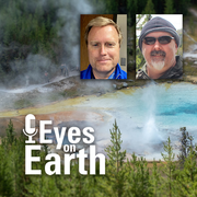
Eyes on Earth
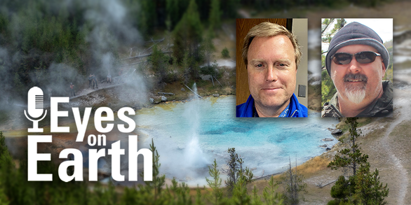
This episode of our remote sensing podcast explores how Landsat’s thermal data helps monitor the Yellowstone National Park area.
Earthshots
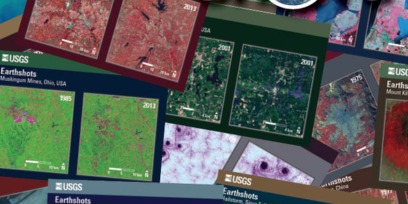
Explore real-world change on Earth, revealed through before-and-after satellite views.
EROS Quick Links
Find frequently visited webpages below.
News
Using Landsat Data: More Helpful Tutorials Now Available
Latest in Landsat - January 2026 - Vol. 5 | Issue 1
Landsat in 2025: Milestones Continue the Mission's Legacy
Publications
Origins, evolutions, and future directions of Landsat science products for advancing global inland water and coastal ocean observations Origins, evolutions, and future directions of Landsat science products for advancing global inland water and coastal ocean observations
ECCOE Landsat Quarterly Calibration and Validation Report—Quarter 2, 2025 ECCOE Landsat Quarterly Calibration and Validation Report—Quarter 2, 2025
A laboratory-based spectrometer intercomparison for the measurement of snow spectra A laboratory-based spectrometer intercomparison for the measurement of snow spectra
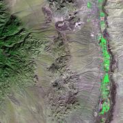
Science

USGS Sagebrush Science: Supporting Public Safety and Economic Decision Making Across the West
Land Processes Distributed Active Archive Center