An official website of the United States government
Here's how you know
Official websites use .gov
A .gov website belongs to an official government organization in the United States.
Secure .gov websites use HTTPS
A lock () or https:// means you’ve safely connected to the .gov website. Share sensitive information only on official, secure websites.
Coastal wetlands and estuaries connect lands and watersheds to the ocean. They are biologically and physically dynamic and are among the most productive and valuable ecosystems in the world. Many different types of USGS scientists work together to increase our understanding of these ecosystems under past, present and future conditions, and how human activities influence them.
What is a coastal wetland?
Coastal wetlands are transitional areas between dry land and open water that are either permanently or seasonally inundated with fresh, brackish, or salt water. They contain a range of plant and animal species that are uniquely adapted to the wet soil conditions, the type of water present, and the degree of inundation.
Types of coastal wetlands include salt marshes, freshwater marshes, seagrass meadows, mangrove swamps, and forested swamps.
Coastal wetlands are among the most productive and valuable ecosystems in the world—comparable to even rainforests and coral reefs. They are often referred to as natural sponges or nature’s kidneys because they slow the flow of water across the watershed, filter out pollutants and excess nutrients, and even absorb and store large quantities of the greenhouse gas carbon dioxide. These capabilities help protect coastal communities from storms and flooding, prevent erosion, improve water quality, and decrease the effects of climate change. Listen to the audio-described version.
What is an estuary?
Estuaries are created where watersheds meet the ocean, bringing land-based waters and salt water from the ocean together. A dynamic ecosystem is created where river flows meet ocean tides. These regions offer food sources and shelter for many different species, including humans.
Estuaries also face a variety of issues that alter their productivity as an ecosystem—many related to the watershed that supplies water from the mainland, including:
USGS studies coastal wetlands and estuaries around the Nation. Here are just a few examples.
Why are coastal wetlands and estuaries important?
Some of America’s largest cities and communities are located along wetlands and estuaries, such as New York-New Jersey Harbor, Chesapeake Bay, San Francisco Bay, Biscayne Bay, Puget Sound, Tampa Bay, and many others. Coastal wetlands and estuaries provide numerous critical benefits and services to society—these are known as ecosystem services. Specifically, they:
Protect coastal communities from storms and flooding
Help prevent erosion
Provide essential food, refuge, and nursery habitat for commercially and recreationally important species
Improve water quality by filtering runoff and absorbing excess nutrients
Decrease the effects of climate change by storing large quantities of the greenhouse gas carbon dioxide from the atmosphere
Provide recreational opportunities like boating, hiking, hunting, fishing, kayaking, and wildlife/bird watching
Serve as important areas of commerce, shipping activity, and ocean/port access
USGS Research
Estuaries are the mixing point between land and coasts. The water that flows into them is critical to their high biological productivity. Changes to the quality, quantity, and type of water, sediment, and river flow affect everything from the types of plants and animals that live there, the landscapes that develop, and the ecosystem services provided to coastal communities.
USGS scientists work in and bring expertise in hydrology, water chemistry, ecology, and sediment transport science, to integrate various information that can help forecast, predict, and identify threats or effects of changes. This helps decision-makers and resources managers develop science-based policies that balance sustainable use of these rich coastal ecosystems while maintaining their productivity for the benefit of all.
Salt marshes provide important economic and ecologic services but are vulnerable to habitat loss, particularly due to shoreline erosion from storms and sea level rise. Sediments eroded at the marsh edge are either delivered onto the marsh platform or into the estuary, the latter resulting in a net loss to the marsh sediment budget and released soil carbon. Knowledge on the timing, distance, and quantity of sediment deposition versus shoreline erosion along the marsh-estuary interface is critical for evaluating the overall health and vulnerability of coastal marshes to future scenarios of sea level rise and storms. This image is a depiction of what happens to sediments as they are eroded at the marsh edge, delivered into the estuary and onto the marsh platform, leading to a higher marsh platform elevation at the marsh shoreline, but loss of wetland habitat area at the eroding shoreline edge.
Storms, sea-level rise, and other elements of climate and coastal change often involve coastal engineering in order to accommodate human needs. These natural systems are highly adaptable. Many plant and animal species can move and grow in response to changing conditions, but some management actions like building coastal defense structures (e.g., seawalls and dikes) and maintaining roads restrict the ability of these coastal ecosystems to adapt or migrate. When estuaries and coastal wetlands are constrained by seawalls or unable to move, they can be inundated, dried out or exposed to too much salt or fresh water. When they are depleted or destroyed, the benefits and services they provide to people and the environment could be diminished or lost. The loss of estuary and wetland health can have far-reaching effects such as reduced fish catch, diminished water quality, algal blooms, and lost habitat and food sources for many migratory species.
Graphic showing how drought can impact coastal estuarine ecosystems in the U.S. Caribbean.
The USGS conducts a variety of research on coastal wetlands and estuaries that support management decisions of federal, state, regional, and local partners and help in evaluating the effectiveness of restoring these valuable habitats so that will continue to provide the most benefits to society and ecosystems.
The USGS creates topobathymetric digital elevation models (DEMs) to assist with identifying flood, hurricane, and sea-level rise inundation hazard zones. These maps also assist with other earth science applications such as the development of sediment transport and storm surge models. The DEM data are important for a range of applications needed for climate change analysis in sensitive coastal regions. Access the Coastal National Elevation Database (CoNED) viewer.
Past, Present, and Future Conditions
USGS scientists collect basic observational data on physical processes (e.g., storms and sea-level rise) and human activities (e.g., nutrient loading), develop numerical models of these data, and apply models to understand the past, present, and future states of these ecosystems. Through this work, USGS scientists can assess vulnerability (e.g., UnVegetated-Vegetated marsh Ratio or UVVR), water-quality conditions, and resilience and identify human activities that are preventing wetland migration and causing tidal restriction, impoundments, and other issues causing degradation.
Map showing blue carbon study locations in the United States: Nisqually National Wildlife Refuge, San Francisco Bay National Estuarine Research Reserve, Barataria-Terrebonne National Estuary Program, Shark River, Ding Darling National Wildlife Refuge, LCMAP mangrove change detection pilot study, Great Dismal Swamp and Pocosin Lake National Wildlife Refuge, Chesapeake Bay Smithsonian Environmental Research Center, Waquoit Bay National Estuarine Research Reserve.
Blue Carbon
Additionally, USGS scientists are working to better understand blue carbon—carbon that is stored in coastal and marine ecosystems. Terrestrial and aquatic ecosystems can capture and store carbon dioxide from the atmosphere, a process known as carbon sequestration. Though coastal ecosystems, such as wetlands, may be smaller in size when compared to say, a forest, they can sequester more carbon per unit area, making them an incredible climate change mitigation tool.
USGS scientists are researching how environmental changes and human activities (e.g., land use management) can impact the ability of coastal wetlands and estuaries to sequester carbon and store it in soil and plant materials. These ecosystems are powerful carbon sinks and store carbon that has accumulated over hundreds to thousands of years. However, when coastal ecosystems are degraded or destroyed, their capacity to store carbon is diminished, and the carbon stored there can be released back into the atmosphere. Improved management of coastal wetlands and estuaries, leading to enhanced conservation and restoration, is therefore a crucial climate change mitigation strategy. Ultimately, USGS blue carbon research and science-based tools will help guide decision-making regarding climate change mitigation and adaptation, wetland restoration, coastal resilience, and carbon sequestration and storage.
Measuring ecosystem-atmosphere carbon exchange at the leaf-level (left) using a porometer and at the ecosystem-level (right) using eddy covariance. Learn more.
Salt marsh systems require a net import of inorganic sediment to maintain their structure in response to sea‐level rise. Marshes are affected by physical processes including tides, waves, sediment transport, and the influence of vegetation, and these processes interact in complex ways leading to sediment accretion or erosion. We implement a 3‐D hydrodynamic sediment transport model in an...
Authors
Rachel Allen, Neil K. Ganju, Tarandeep Kalra, Alfredo Aretxabaleta, Jessica R. Lacy
Unoccupied aerial systems (UASs) are increasingly being deployed in coastal environments to rapidly map and monitor changes to geomorphology, vegetation, and infrastructure, particularly in difficult to access areas. UAS data, relative to airplane or satellite data, typically have higher spatial resolution, sensor customization, and increased flexibility in temporal resolution, which...
Authors
Alexandra Danielle Evans, Jennifer Marie Cramer, Victoria Mary Scholl, Erika E. Lentz
Karst subterranean estuaries within globally ubiquitous carbonate aquifers are coastal groundwater ecosystems that provide an essential water resource for human populations. To understand the drivers of salinization within a coastal aquifer in the Yucatan Peninsula (Mexico), we employed hydroacoustics in flooded caves to observe how oceanic and atmospheric events facilitate mixing...
Authors
Neil K. Ganju, John Pohlman, Steven E. Suttles, David Brankovits
Coastal salt marshes are crucial ecosystems that provide habitat for a variety of species, improve water quality, and play a major role in the global carbon cycle. However, many salt marshes have been severely damaged by human activities such as diking and draining for urban development. Recently, there has been a noticeable shift toward the prioritization of coastal marsh restoration to...
Authors
Kasra Naseri, Michelle A. Hummel, Kevin M. Befus, Timothy P. Smith, Meagan J. Eagle, Kevin D. Kroeger
The U.S. Geological Survey collected water velocity and water quality data from salt marshes in Great Channel, southwest of Stone Harbor, New Jersey, and near Thompsons Beach, New Jersey, to evaluate restoration effectiveness after Hurricane Sandy and monitor postrestoration marsh health. Time series data of turbidity and water velocity were collected from 2018 to 2019 and 2022 to 2023...
Authors
Olivia A. De Meo, Robert D. Bales, Neil K. Ganju, Eric D. Marsjanik, Steven E. Suttles
WARC first implemented geographic information systems (GIS) in 1980 to help monitor the nature and extent of wetland habitat changes. The center continues to use GIS, remote sensing, and other computer based technologies to address a wide range of natural resource related issues.
Spatial Analysis Support for Coastal Wetlands Planning, Protection and Restoration Act (Breaux Bill) Planning Activities
WARC first implemented geographic information systems (GIS) in 1980 to help monitor the nature and extent of wetland habitat changes. The center continues to use GIS, remote sensing, and other computer based technologies to address a wide range of natural resource related issues.
The scientists at the Wetland and Aquatic Science Center (WARC) have provided coastal restoration project managers and decision makers with GIS planning, database and custom application capacity since 1992. The scope and complexity of this support has increased over the years and has resulted in the development of a comprehensive geospatial and advanced application teams that provide decision...
GIS and Custom Application Support for the Gulf Coast Ecosystem Restoration Council
The scientists at the Wetland and Aquatic Science Center (WARC) have provided coastal restoration project managers and decision makers with GIS planning, database and custom application capacity since 1992. The scope and complexity of this support has increased over the years and has resulted in the development of a comprehensive geospatial and advanced application teams that provide decision...
The San Francisco Bay-Delta PES is one way that USGS continues to provide science for the restoration and conservation of the SF Bay and its watershed. USGS research topics range from wetland restoration in the Bay to restoring habitat for anadromous fish (e.g., salmon) in the uplands. USGS has made several important discoveries critical to the fundamental understanding of this system and...
The San Francisco Bay-Delta PES is one way that USGS continues to provide science for the restoration and conservation of the SF Bay and its watershed. USGS research topics range from wetland restoration in the Bay to restoring habitat for anadromous fish (e.g., salmon) in the uplands. USGS has made several important discoveries critical to the fundamental understanding of this system and...
Our research goals are to provide the scientific information, knowledge, and tools required to ensure that decisions about land and resource use, management practices, and future development in the coastal zone and adjacent watersheds can be evaluated with a complete understanding of the probable effects on coastal ecosystems and communities, and a full assessment of their vulnerability to natural...
Our research goals are to provide the scientific information, knowledge, and tools required to ensure that decisions about land and resource use, management practices, and future development in the coastal zone and adjacent watersheds can be evaluated with a complete understanding of the probable effects on coastal ecosystems and communities, and a full assessment of their vulnerability to natural...
A Pacific Northwest icon, Puget Sound is the second-largest estuary in the United States. Its unique geology, climate, and nutrient-rich waters produce and sustain biologically productive coastal habitats. These same natural characteristics also contribute to a high quality of life that has led to growth in human population and urbanization. This growth has played a role in degrading the Sound...
A Pacific Northwest icon, Puget Sound is the second-largest estuary in the United States. Its unique geology, climate, and nutrient-rich waters produce and sustain biologically productive coastal habitats. These same natural characteristics also contribute to a high quality of life that has led to growth in human population and urbanization. This growth has played a role in degrading the Sound...
Marsh lateral shoreline erosion and shore-proximal sediment deposition
Salt marshes provide important economic and ecologic services but are vulnerable to habitat loss, particularly due to shoreline erosion from storms and sea level rise. Sediments eroded at the marsh edge are either delivered onto the marsh platform or into the estuary, the latter resulting in a net loss to the marsh sediment budget and released soil carbon.
Salt marshes provide important economic and ecologic services but are vulnerable to habitat loss, particularly due to shoreline erosion from storms and sea level rise. Sediments eroded at the marsh edge are either delivered onto the marsh platform or into the estuary, the latter resulting in a net loss to the marsh sediment budget and released soil carbon.
Tidal Marshland in the Plum Island Estuary, Massachusetts
The marshes of Plum Island Estuary are among those predicted by scientists to submerge during the next century under conservative projections of sea-level rise.
The marshes of Plum Island Estuary are among those predicted by scientists to submerge during the next century under conservative projections of sea-level rise.
Scientists at the U.S. Geological Survey Wetland and Aquatic Research Center (www.usgs.gov/warc) study important aspects of wetlands, such as the flow and quality of water, the chemistry of soil, and the plants and animals which call this ecosystem home.
Scientists at the U.S. Geological Survey Wetland and Aquatic Research Center (www.usgs.gov/warc) study important aspects of wetlands, such as the flow and quality of water, the chemistry of soil, and the plants and animals which call this ecosystem home.
Scientists at the U.S. Geological Survey Wetland and Aquatic Research Center study important aspects of wetlands, such as the flow and quality of water, the chemistry of soil, and the plants and animals which call this ecosystem home.
Scientists at the U.S. Geological Survey Wetland and Aquatic Research Center study important aspects of wetlands, such as the flow and quality of water, the chemistry of soil, and the plants and animals which call this ecosystem home.
Salt marsh systems require a net import of inorganic sediment to maintain their structure in response to sea‐level rise. Marshes are affected by physical processes including tides, waves, sediment transport, and the influence of vegetation, and these processes interact in complex ways leading to sediment accretion or erosion. We implement a 3‐D hydrodynamic sediment transport model in an...
Authors
Rachel Allen, Neil K. Ganju, Tarandeep Kalra, Alfredo Aretxabaleta, Jessica R. Lacy
Unoccupied aerial systems (UASs) are increasingly being deployed in coastal environments to rapidly map and monitor changes to geomorphology, vegetation, and infrastructure, particularly in difficult to access areas. UAS data, relative to airplane or satellite data, typically have higher spatial resolution, sensor customization, and increased flexibility in temporal resolution, which...
Authors
Alexandra Danielle Evans, Jennifer Marie Cramer, Victoria Mary Scholl, Erika E. Lentz
Karst subterranean estuaries within globally ubiquitous carbonate aquifers are coastal groundwater ecosystems that provide an essential water resource for human populations. To understand the drivers of salinization within a coastal aquifer in the Yucatan Peninsula (Mexico), we employed hydroacoustics in flooded caves to observe how oceanic and atmospheric events facilitate mixing...
Authors
Neil K. Ganju, John Pohlman, Steven E. Suttles, David Brankovits
Coastal salt marshes are crucial ecosystems that provide habitat for a variety of species, improve water quality, and play a major role in the global carbon cycle. However, many salt marshes have been severely damaged by human activities such as diking and draining for urban development. Recently, there has been a noticeable shift toward the prioritization of coastal marsh restoration to...
Authors
Kasra Naseri, Michelle A. Hummel, Kevin M. Befus, Timothy P. Smith, Meagan J. Eagle, Kevin D. Kroeger
The U.S. Geological Survey collected water velocity and water quality data from salt marshes in Great Channel, southwest of Stone Harbor, New Jersey, and near Thompsons Beach, New Jersey, to evaluate restoration effectiveness after Hurricane Sandy and monitor postrestoration marsh health. Time series data of turbidity and water velocity were collected from 2018 to 2019 and 2022 to 2023...
Authors
Olivia A. De Meo, Robert D. Bales, Neil K. Ganju, Eric D. Marsjanik, Steven E. Suttles
Sea level rise is leading to the rapid migration of marshes into coastal forests and other terrestrial ecosystems. Although complex biophysical interactions likely govern these ecosystem transitions, projections of sea level driven land conversion commonly rely on a simplified “threshold elevation” that represents the elevation of the marsh-upland boundary based on tidal datums alone. To...
Authors
Grace Molino, Joel A. Carr, Neil K. Ganju, Mathew Kirwan
Mangroves and saltmarshes are biogeochemical hotspots storing carbon in sediments and in the ocean following lateral carbon export (outwelling). Coastal seawater pH is modified by both uptake of anthropogenic carbon dioxide and natural biogeochemical processes, e.g., wetland inputs. Here, we investigate how mangroves and saltmarshes influence coastal carbonate chemistry and quantify the
Authors
Gloria Reithmaier, Alex Cabral, Anirban Akhand, Matthew Bogard, Alberto V. Borges, Steven Bouillon, David J. Burdige, Mitchel Call, Nengwang Chen, Xiaogang Chen, Cotovicz, Meagan J. Eagle, Erik Kristensen, Kevin D. Kroeger, Zeyang Lu, Damien Maher, Lucas Perez-Llorens, Raghab Ray, Pierre Taillardat, Joseph Tamborski, Robert C. Upstill-Goddard, Faming Wang, Zhaohui Aleck Wang, Kai Xiao, Yvonne Yau, Isaac Santos
Wetlands cover a small portion of the world, but have disproportionate influence on global carbon (C) sequestration, carbon dioxide and methane emissions, and aquatic C fluxes. However, the underlying biogeochemical processes that affect wetland C pools and fluxes are complex and dynamic, making measurements of wetland C challenging. Over decades of research, many observational...
Authors
Sheel Bansal, Irena F. Creed, Brian Tangen, Scott D. Bridgham, Ankur R. Desai, Ken Krauss, Scott C Neubauer, Gregory E. Noe, Donald O. Rosenberry, Carl C. Trettin, Kimberly Wickland, Scott T. Allen, Ariane Arias-Ortiz, Anna R. Armitage, Dennis Baldocchi, Kakoli Banerjee, David Bastviken, Peter Berg, Matthew J. Bogard, Alex T. Chow, William H. Conner, Christopher Craft, Courtney Creamer, Tonya Delsontro, Jamie Duberstein, Meagan J. Eagle, M. Siobhan Fennessey, Sarah A. Finkelstein, Mathias Goeckede, Sabine Grunwald, Meghan Halibisky, Ellen R. Herbert, Mohammad Jahangir, Olivia Johnson, Miriam C. Jones, Jeffrey Kelleway, Sarah Knox, Kevin D. Kroeger, Kevin Kuehn, David Lobb, Amanda Loder, Shizhou Ma, Damien Maher, Gavin McNicol, Jacob Meier, Beth A. Middleton, Christopher T. Mills, Purbasha Mistry, Abhijith Mitra, Courtney Mobilian, Amanda M. Nahlik, Sue Newman, Jessica O’Connell, Patty Oikawa, Max Post van der Burg, Charles A Schutte, Chanchung Song, Camille L. Stagg, Jessica Turner, Rodrigo Vargas, Mark Waldrop, Markus Wallin, Zhaohui Aleck Wang, Eric Ward, Debra A. Willard, Stephanie A. Yarwood, Xiaoyan Zhu
Existing analyses of salt marsh carbon budgets rarely quantify carbon loss as CO2 through the air–water interface in inundated marshes. This study estimates the variability of partial pressure of CO2 (pCO2) and air–water CO2 fluxes over summer and fall of 2014 and 2015 using high-frequency measurements of tidal water pCO2 in a salt marsh of the U.S. northeast region. Monthly mean CO2...
Authors
Shuzhen Song, Zhaohui Aleck Wang, Kevin D. Kroeger, Meagan J. Eagle, Sophie N. Chu, Jianzhong Ge
Coastal wetlands can emit excess methane in cases where they are impounded and artificially freshened by structures that impede tidal exchange. We provide a new assessment of coastal methane reduction opportunities for the contiguous United States by combining multiple publicly available map layers, reassessing greenhouse gas emissions datasets, and applying scenarios informed by...
Authors
James Holmquist, Meagan J. Eagle, Rebecca Molinari, Sydney K. Nick, Liana Stachowicz, Kevin D. Kroeger
Coastal managers are facing imminent decisions regarding the fate of coastal wetlands, given ongoing threats to their persistence. There is a need for objective methods to identify which wetland parcels are candidates for restoration, monitoring, protection, or acquisition due to limited resources and restoration techniques. Here, we describe a new spatially comprehensive data set for...
WARC first implemented geographic information systems (GIS) in 1980 to help monitor the nature and extent of wetland habitat changes. The center continues to use GIS, remote sensing, and other computer based technologies to address a wide range of natural resource related issues.
Spatial Analysis Support for Coastal Wetlands Planning, Protection and Restoration Act (Breaux Bill) Planning Activities
WARC first implemented geographic information systems (GIS) in 1980 to help monitor the nature and extent of wetland habitat changes. The center continues to use GIS, remote sensing, and other computer based technologies to address a wide range of natural resource related issues.
The scientists at the Wetland and Aquatic Science Center (WARC) have provided coastal restoration project managers and decision makers with GIS planning, database and custom application capacity since 1992. The scope and complexity of this support has increased over the years and has resulted in the development of a comprehensive geospatial and advanced application teams that provide decision...
GIS and Custom Application Support for the Gulf Coast Ecosystem Restoration Council
The scientists at the Wetland and Aquatic Science Center (WARC) have provided coastal restoration project managers and decision makers with GIS planning, database and custom application capacity since 1992. The scope and complexity of this support has increased over the years and has resulted in the development of a comprehensive geospatial and advanced application teams that provide decision...
The San Francisco Bay-Delta PES is one way that USGS continues to provide science for the restoration and conservation of the SF Bay and its watershed. USGS research topics range from wetland restoration in the Bay to restoring habitat for anadromous fish (e.g., salmon) in the uplands. USGS has made several important discoveries critical to the fundamental understanding of this system and...
The San Francisco Bay-Delta PES is one way that USGS continues to provide science for the restoration and conservation of the SF Bay and its watershed. USGS research topics range from wetland restoration in the Bay to restoring habitat for anadromous fish (e.g., salmon) in the uplands. USGS has made several important discoveries critical to the fundamental understanding of this system and...
Our research goals are to provide the scientific information, knowledge, and tools required to ensure that decisions about land and resource use, management practices, and future development in the coastal zone and adjacent watersheds can be evaluated with a complete understanding of the probable effects on coastal ecosystems and communities, and a full assessment of their vulnerability to natural...
Our research goals are to provide the scientific information, knowledge, and tools required to ensure that decisions about land and resource use, management practices, and future development in the coastal zone and adjacent watersheds can be evaluated with a complete understanding of the probable effects on coastal ecosystems and communities, and a full assessment of their vulnerability to natural...
A Pacific Northwest icon, Puget Sound is the second-largest estuary in the United States. Its unique geology, climate, and nutrient-rich waters produce and sustain biologically productive coastal habitats. These same natural characteristics also contribute to a high quality of life that has led to growth in human population and urbanization. This growth has played a role in degrading the Sound...
A Pacific Northwest icon, Puget Sound is the second-largest estuary in the United States. Its unique geology, climate, and nutrient-rich waters produce and sustain biologically productive coastal habitats. These same natural characteristics also contribute to a high quality of life that has led to growth in human population and urbanization. This growth has played a role in degrading the Sound...
Objectives: Support further work by the USGS and collaborating federal, state, and local agencies and academic partners in analyzing the effectiveness of restoration work in coastal watersheds and estuaries in the Monterey Bay area. The USGS will play a supporting role in field efforts led by NOAA and California State University - Monterey Bay to measure physical and ecological changes in the...
Coastal watershed and estuary restoration in the Monterey Bay area
Objectives: Support further work by the USGS and collaborating federal, state, and local agencies and academic partners in analyzing the effectiveness of restoration work in coastal watersheds and estuaries in the Monterey Bay area. The USGS will play a supporting role in field efforts led by NOAA and California State University - Monterey Bay to measure physical and ecological changes in the...
This research is part of the project “Sediment Transport in Coastal Environments.” We aim to support regional sediment management in the Columbia River littoral cell by monitoring and modeling shoreline change, modeling fate of disposed dredged material, and studying bedform morphology.
This research is part of the project “Sediment Transport in Coastal Environments.” We aim to support regional sediment management in the Columbia River littoral cell by monitoring and modeling shoreline change, modeling fate of disposed dredged material, and studying bedform morphology.
We investigate mechanisms of sediment transport, resuspension dynamics in shoals, wave evolution in the shallows, wave attenuation in marshes, and transport of sediment between mudflats and marshes. We produce data sets for calibration of and comparison with sediment transport models, including wave parameters, suspended sediment concentration, and sediment flux.
Sediment transport between estuarine habitats in San Francisco Bay
We investigate mechanisms of sediment transport, resuspension dynamics in shoals, wave evolution in the shallows, wave attenuation in marshes, and transport of sediment between mudflats and marshes. We produce data sets for calibration of and comparison with sediment transport models, including wave parameters, suspended sediment concentration, and sediment flux.
The Research Vessel David H. Peterson begain service with the U.S. Geological Survey in 2015. Named after a founder of the Water Quality of San Francisco Bay Research and Monitoring Project, this vessel is a high-tech scientific platform for estuarine research. Learn more about how the R/V David H. Peterson makes our research possible.
The Research Vessel David H. Peterson begain service with the U.S. Geological Survey in 2015. Named after a founder of the Water Quality of San Francisco Bay Research and Monitoring Project, this vessel is a high-tech scientific platform for estuarine research. Learn more about how the R/V David H. Peterson makes our research possible.
The Grand Bay National Estuarine Research Reserve (NERR) in southern Mississippi was established to provide recreational and educational opportunities along with facilitating science-based coastal management; therefore, Grand Bay is the subject of numerous short and long-term environmental studies. The reserve is an important location for research and conservation.
The Herring River in Wellfleet, MA is a tidally-restricted estuary system. Management options including potential restoration of unrestricted tidal flows require an understanding of pre-restoration sediment conditions. Altering future tidal flows may cause changes in net sediment flux and direction, which could affect marsh restoration and aquaculture in Wellfleet Harbor. This research...
There are two idealized domains developed in this work to test the marsh dynamics in the COAWST modeling framework. 1. First idealized domain is to test and verify the lateral thrust calculations. 2. Second idealized domain is to test the implementation of lateral retreat formulations.
This map shows the unvegetated and vegetated area of coastal wetlands and adjacent land (inland and shorelines) for the Conterminous United States computed from 2014-2018 Landsat imagery at ~30 meter horizontal resolution.
The Coastal National Elevation Database (CoNED) Project Viewer is a portal to the topobathymetric models created with the expertise of the expertise of the U.S. Geological Survey Earth Resources Observation and Science (EROS) Center near Sioux Falls, SD.
Marsh lateral shoreline erosion and shore-proximal sediment deposition
Salt marshes provide important economic and ecologic services but are vulnerable to habitat loss, particularly due to shoreline erosion from storms and sea level rise. Sediments eroded at the marsh edge are either delivered onto the marsh platform or into the estuary, the latter resulting in a net loss to the marsh sediment budget and released soil carbon.
Salt marshes provide important economic and ecologic services but are vulnerable to habitat loss, particularly due to shoreline erosion from storms and sea level rise. Sediments eroded at the marsh edge are either delivered onto the marsh platform or into the estuary, the latter resulting in a net loss to the marsh sediment budget and released soil carbon.
Tidal Marshland in the Plum Island Estuary, Massachusetts
The marshes of Plum Island Estuary are among those predicted by scientists to submerge during the next century under conservative projections of sea-level rise.
The marshes of Plum Island Estuary are among those predicted by scientists to submerge during the next century under conservative projections of sea-level rise.
Scientists at the U.S. Geological Survey Wetland and Aquatic Research Center (www.usgs.gov/warc) study important aspects of wetlands, such as the flow and quality of water, the chemistry of soil, and the plants and animals which call this ecosystem home.
Scientists at the U.S. Geological Survey Wetland and Aquatic Research Center (www.usgs.gov/warc) study important aspects of wetlands, such as the flow and quality of water, the chemistry of soil, and the plants and animals which call this ecosystem home.
Scientists at the U.S. Geological Survey Wetland and Aquatic Research Center study important aspects of wetlands, such as the flow and quality of water, the chemistry of soil, and the plants and animals which call this ecosystem home.
Scientists at the U.S. Geological Survey Wetland and Aquatic Research Center study important aspects of wetlands, such as the flow and quality of water, the chemistry of soil, and the plants and animals which call this ecosystem home.
Scientists at the U.S. Geological Survey Wetland and Aquatic Research Center study important aspects of wetlands, such as the flow and quality of water, the chemistry of soil, and the plants and animals which call this ecosystem home.
Scientists at the U.S. Geological Survey Wetland and Aquatic Research Center study important aspects of wetlands, such as the flow and quality of water, the chemistry of soil, and the plants and animals which call this ecosystem home.
Scientists at the U.S. Geological Survey Wetland and Aquatic Research Center (www.usgs.gov/warc) study important aspects of wetlands, such as the flow and quality of water, the chemistry of soil, and the plants and animals which call this ecosystem home.
Scientists at the U.S. Geological Survey Wetland and Aquatic Research Center (www.usgs.gov/warc) study important aspects of wetlands, such as the flow and quality of water, the chemistry of soil, and the plants and animals which call this ecosystem home.
Scientists at the U.S. Geological Survey Wetland and Aquatic Research Center (www.usgs.gov/warc) study important aspects of wetlands, such as the flow and quality of water, the chemistry of soil, and the plants and animals which call this ecosystem home.
Scientists at the U.S. Geological Survey Wetland and Aquatic Research Center (www.usgs.gov/warc) study important aspects of wetlands, such as the flow and quality of water, the chemistry of soil, and the plants and animals which call this ecosystem home.
USGS geologists study sediment exchange in estuary and marshes
Sediments in estuarine and marsh environments contain organic peat, or material derived from life, that plays an important role in ecosystem health. Here, USGS geologist Chris Smith of the St.
Sediments in estuarine and marsh environments contain organic peat, or material derived from life, that plays an important role in ecosystem health. Here, USGS geologist Chris Smith of the St.
Salt Marsh in San Bernard National Wildlife Refuge
A succulent and grass-dominated salt marsh ecosystem in San Bernard National Wildlife Refuge (Texas). The succulent plants in the foreground of this photo are indicative of dry and hypersaline conditions.
A succulent and grass-dominated salt marsh ecosystem in San Bernard National Wildlife Refuge (Texas). The succulent plants in the foreground of this photo are indicative of dry and hypersaline conditions.
Diagram showing the transition from a) tidal freshwater forested wetland (TFFW) to b) tidal fresh water marsh to c) low-salinity marsh to d) saltmarsh with increasing salinity and the movement of carbon in, out, and through this
Diagram showing the transition from a) tidal freshwater forested wetland (TFFW) to b) tidal fresh water marsh to c) low-salinity marsh to d) saltmarsh with increasing salinity and the movement of carbon in, out, and through this
Chesapeake Bay: A Landsat 8 Surface Reflectance Mosaic
Chesapeake Bay is the Nation's largest estuary and its restoration and protection is a priority. The USGS provides scientific information to help manage this vital ecosystem. As part of that role, staff at the USGS Earth Resources Observation and Science (EROS) Center created this true color composite image.
Chesapeake Bay is the Nation's largest estuary and its restoration and protection is a priority. The USGS provides scientific information to help manage this vital ecosystem. As part of that role, staff at the USGS Earth Resources Observation and Science (EROS) Center created this true color composite image.
Marsh shoreline inundation during high tide at a marsh sampling site around Middle Bay in the Grand Bay National Estuarine Research Reserve, Mississippi.
Marsh shoreline inundation during high tide at a marsh sampling site around Middle Bay in the Grand Bay National Estuarine Research Reserve, Mississippi.
Assessing Tallgrass Coastal Prairie in Southwest Louisiana
Vegetation assessments are part of an effort to produce seamless, consistent, and high resolution landcover data for the northern portion of the western gulf coastal plain. This geography was once dominated by tallgrass prairie and has undergone dramatic change with less than 1% of this natural habitat in existence.
Vegetation assessments are part of an effort to produce seamless, consistent, and high resolution landcover data for the northern portion of the western gulf coastal plain. This geography was once dominated by tallgrass prairie and has undergone dramatic change with less than 1% of this natural habitat in existence.
Now Available: First CONUS-wide Coastal Wetland Collection
Scientists from across USGS have created the first CONUS-wide collection of key tidal wetland metrics. These metrics provide data on habitat quality...
Can oceans store more CO2 to help with climate change?
Did you know that oceans capture a large amount of carbon dioxide from the atmosphere, helping mitigate climate change? It’s true, and scientists are...
Hydrologic Restoration in Coastal Wetlands Enhances Climate Change Mitigation Benefits
A recent study shows that restoring tidal exchange in impounded coastal wetlands can enhance their elevation resilience and climate change mitigation...
Extreme Rainfall and Flooding Contributes to Sudden Vegetation Dieback in Texas Salt Marsh
Sudden vegetation dieback events in salt marshes have historically been linked to severe drought, but a new U.S. Geological Survey study reports the...

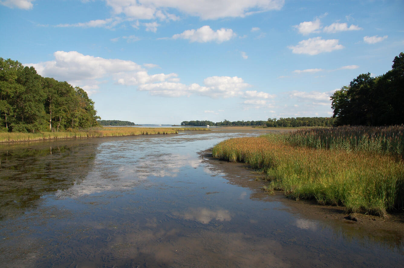
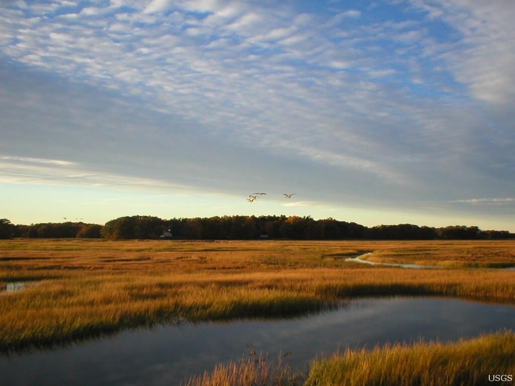

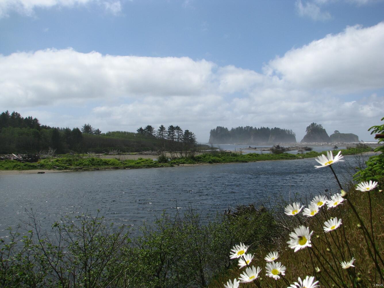


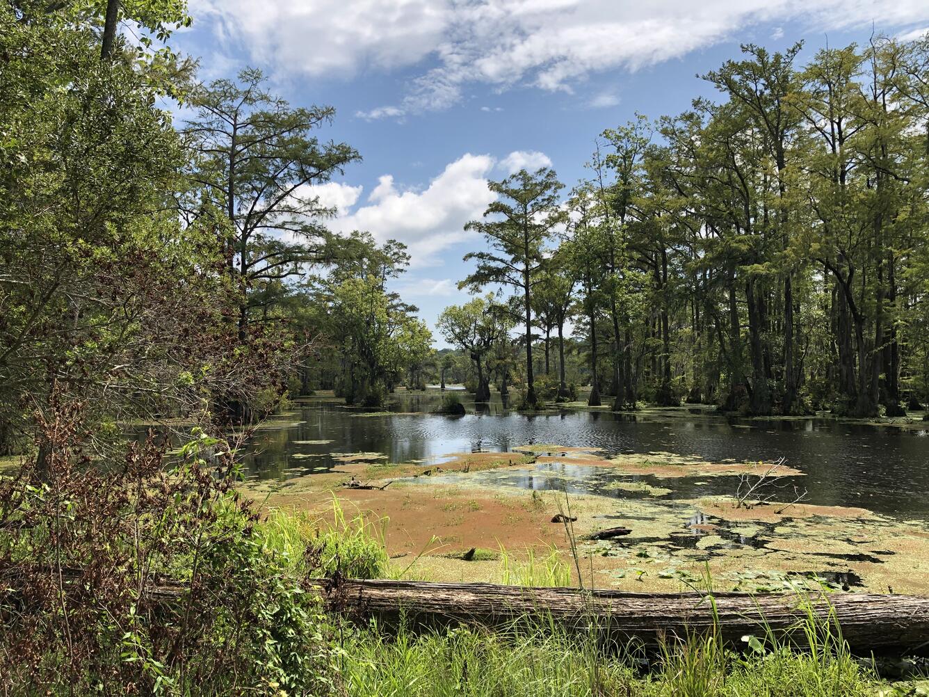


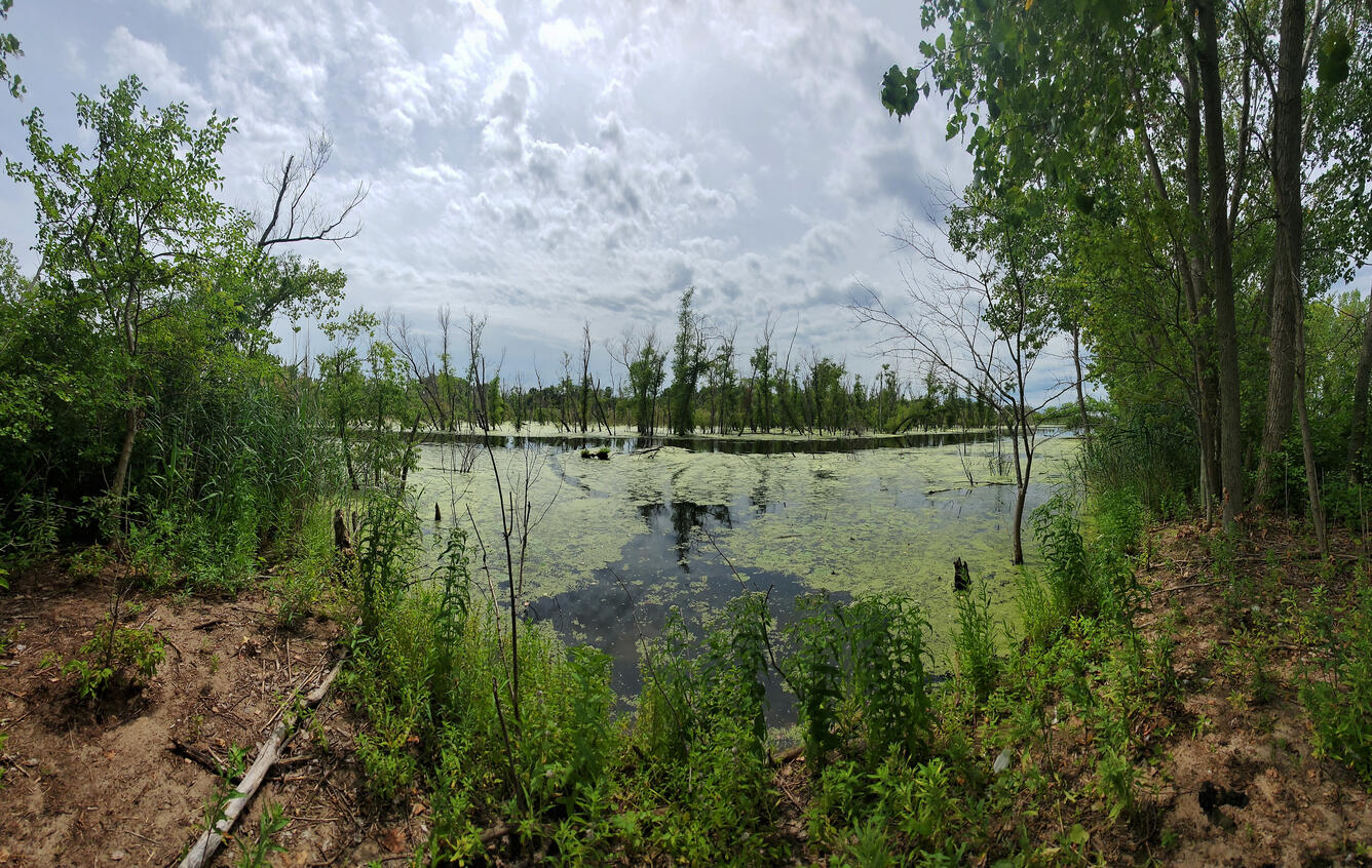


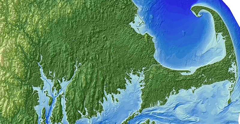
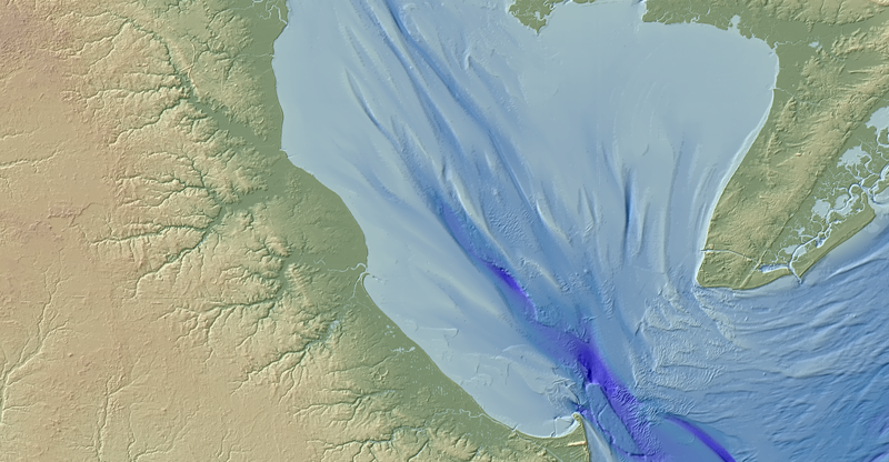
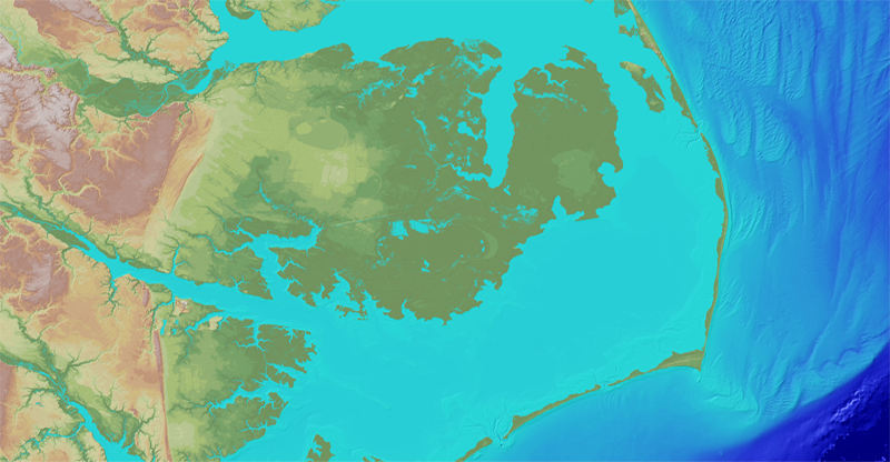


")


